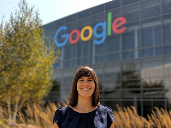
Although María García-Puyol’s main responsibility in Google is to update the indoor localization algorithms, this young woman from Malaga decided to improve the accuracy of the “little blue dot” that we all see in Google Maps to accelerate the detection of the accurate location of an emergency call through an Android device. Thanks to this idea, García-Puyol has become one of the winners of the Innovators Under 35 Europe 2018 awards by MIT Technology Review.
Many people who call emergency services are unable to explain their exact location due to their lack of awareness of the place or simply because they do not know how to express themselves in the language of the local country. Knowing your exact location at the right time “makes the difference between life and death,” says the innovator. Many of these failures occur because emergency services use the mobile telephone network to locate calls. This network provides information within a radius of 100 meters and even 20 kilometres, making it very difficult to find someone, especially in rural areas.
Garcia-Puyol recalls that her source of inspiration was a colleague’s comment: “She told me that an Uber can find you much faster than an ambulance.” This is how she decided to create an algorithm to solve this problem, thanks to Google’s 20% project. Once the prototype was finished and approved internally by many people, it became a full-time project and it obtained a team of its own, a success that few jobs obtained from this initiative promoted by the global company.
That is how ELS was born: a free service that is activated directly in Google Play, available to any Android user who has version 4.0 or higher that can already be used in 17 countries. The user does not need to download any application to use it, just call the emergency service number in the country and it will be automatically activated. When an emergency call is made from a telephone with this operating system, its precise location is sent to the centre in charge of receiving this information, which then sends it to the emergency service.
The location is completely confidential because it is sent to the reception system without going through Google. When making the call, the Android’s Fused Location Provider (FLP) is activated and detects the location of the person thanks to the combination of GPS, Wi-Fi and mobile sensor technologies (accelerometer, magnetometer, gyroscope and barometer). All these factors help the location obtained to be significantly faster and more accurate than the one obtained through the traditional network, which drastically reduces the search time. The next step is to determine on which floor of a skyscraper is a person who calls an emergency service and thus provide assistance in the precise time.
The executive director of LivindasOy and member of the jury of Innovators under 35 Europe 2018, Tiina Hynninen, appreciates that García-Puyol “has identified a global problem, which affects all those who make emergency calls through mobile phones”.
By Daniela Perdomo
Translation: Ana Milutinovic


